Most transportation projects designed by GBA deal with roads, bridges, signs, signals, intersections or interchanges. The K-177 Micro-Duct Design project brings a new form of transportation to the forefront – the transportation of data.
The ability to move goods and services is key to any transportation network. In the case of this project, instead of transporting material goods, it is a network to transport data. In today’s world, data is a form of goods, and certainly a key to services. Imagine going through this era of pandemic, working from home, without a network backbone to carry the information across the city, state, country, and around the world.
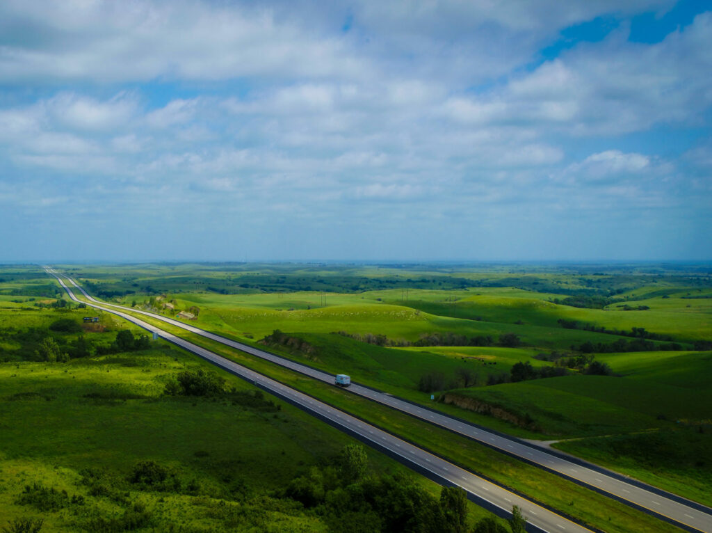
Part of Kansas’ Eisenhower Legacy Transportation Program (IKE) includes the expansion of broadband connectivity across the state. IKE also includes investments in new technologies. As part of that initiative, KDOT reached out to the consultant community seeking assistance in designing three separate projects to install conduit to carry fiberoptic lines in various parts of the state. A team comprised of GBA, gbaSI and Alynix was selected to design a project along K-177 from I-70 north to the Kansas River, just southeast of Manhattan. KDOT selected the GBA team for this project because we are uniquely qualified to evaluate various innovative approaches for the data collection along the corridor.
The team’s proposal included alternatives in the use of UAVs to collect photographic information. This was combined with ground survey information to mesh the high-resolution photography with data on underground utilities. Targets were placed that allowed the collection of data to create a 3-D model of the existing terrain.
While that data collection was underway, the GBA road design team collected information on the existing alignment of K-177 and used this data to create a base file with the estimated location of the existing right-of-way. This was combined with the aerial photographic data provided by Alynix, and then gbaSI laid out the conduit alignment and pull box locations per KDOT’s specifications. The road group compiled this information to create plan sheets that met KDOT’s requirements for electronic construction documents.
In the meantime, Alynix created an application that allows users to access the high-res photography combined with the information shown in the plans. This allows the client to use computers, tablets, and phones to see the project before, during and after construction in a GIS-based format.
KDOT recognized the innovative techniques proposed by the GBA/gbaSI/Alynix team, and asked that in addition to the construction documents, we prepare a report on how we collected the data, what we did with it, and how the lessons learned can be used on similar future projects.
We are working on finding ways to use the data gathered for other types of projects, exploring ways to make the sharing of the data easier and faster.
The expansion of broadband connectivity has never been more important, and projects like this one showcase our innovative services.
How can we partner to help you with innovative services on your next job? Let’s connect and explore ideas together.